
Walking a Beverly Hills Street Directory
A Beverly Hills street directory search should move from the fixed address to records that can be checked in sequence. Start with the parcel, not a guessed person. The county Assessor supplies an address or AIN card, CitySmart supplies city permit context, and the map lets you see adjoining parcels. Owner identity comes from an Assessor counter or Property Data Sales route. The recorder then searches that name and year, while older directories provide household clues.
“Resident” needs care. A parcel owner may live elsewhere. A permit applicant may be an architect, contractor, or owner’s agent. A directory listing may be old or incomplete. Keep a separate line for situs address, tax mailing address, legal description, owner, listed occupant, and source year.
- Run the address or AIN through the Los Angeles County Assessor Portal and save the parcel card.
- Open the county map or Beverly Hills GIS, click the subject polygon, and note each adjacent APN and situs.
- Use the LA County voter-status form only for the requester’s own status; it is not a street list.
- Take the owner and approximate year to the RR/CC grantor and grantee index at Norwalk.
- For past households, use address-order telephone books, city-directory editions, census schedules, permits, and newspapers.
The same parcel number should travel through the map, Assessor card, CitySmart result, and permit request. The recorder instead works from party name and year, so the owner step is the bridge.
Beverly Hills Street Directory Fields
The Los Angeles County Assessor Portal is the first address-keyed stop in a Beverly Hills street directory search. Basic Search accepts an AIN or address. Legal Search can work from a legal description, and Map Search lets a researcher pan and select parcels. The site shows physical and assessment data but suppresses owner names and owner mailing addresses online.
| Search by AIN or Address | Required address or assessor identification entry. |
|---|---|
| Basic Search | Primary parcel-card route. |
| Legal Search | Legal-description route when the street label is uncertain. |
| Map Search | Pan, click, and compare nearby parcel shapes. |
| Parcel Change | Event-history mode; owner identity remains suppressed online. |
A typical result may include AIN, situs, use type, parcel status, tax-rate area, building and land fields, values, events, assessment history, map index, and bill status. A DTT-derived sale price can carry copied leading digits at the end, so it is an indexing signal rather than an exact consideration figure.
The county’s Assessor map help clarifies the distinction between a parcel search and the owner information available at a district office or through Property Data Sales.
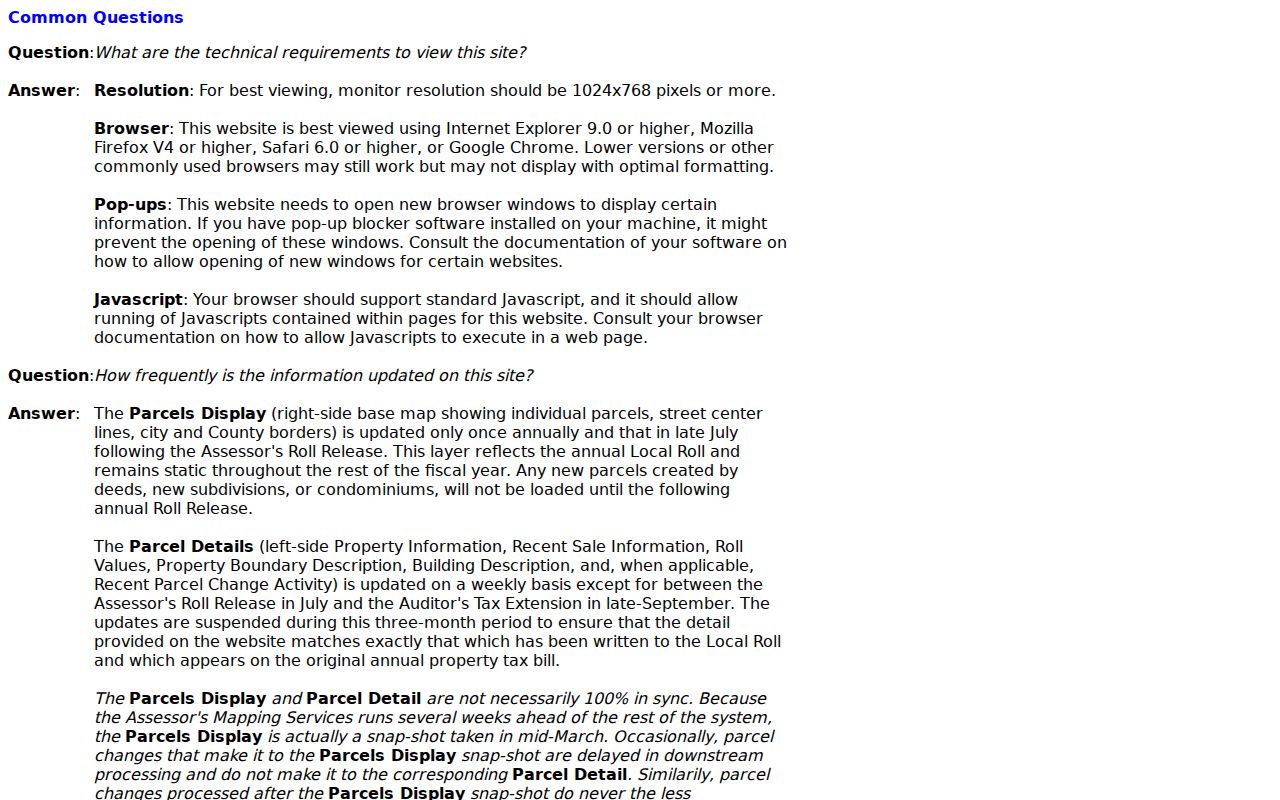
That boundary is central to street work: a free parcel result documents land, not a complete list of Beverly Hills residents.
Beverly Hills Street Map Walkthrough
CitySmart accepts an address, APN, permit number, or map search. Its map can search an intersection, latitude and longitude, APN, or permit number, then expose available-record modes. The public catalog shows construction permits from 1989 and planning applications from 2000, while the city’s offline holdings reach farther back.
For a street-by-street pass, locate the subject polygon, click or pan to the next parcel, copy each APN and situs, and open each card in the Assessor. City GIS is an informational map, not a household directory. The public ArcGIS service also exposes parcel, city-boundary, and code-violation layers, but a layer’s geography does not grant access to protected case narratives.
The county parcel map captures the adjacent-parcel view used in a Beverly Hills street directory workflow.
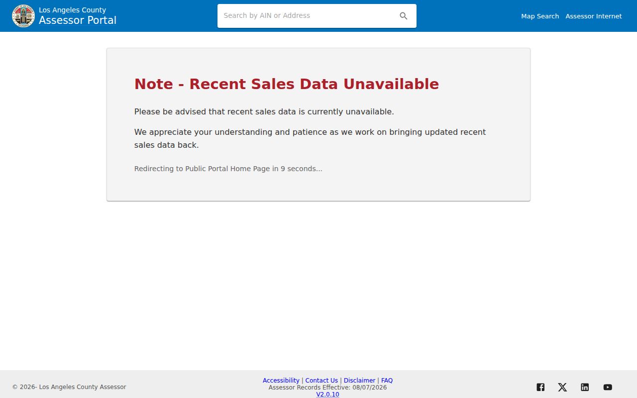
CitySmart’s own search screen keeps the permit and APN path together.
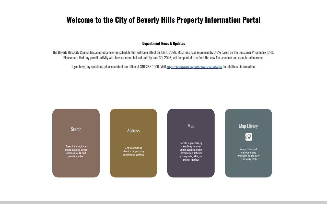
Use the city map to collect parcel keys, then ask the correct office for the record behind each key.
Beverly Hills Records by Street
Address-keyed records answer different questions, so an address guide should show their limits as well as their uses. CitySmart and the Assessor are strongest for parcel context. The recorder is strongest for named parties and instruments once a name and year are known. Historical directories add people in address order for particular editions.
| Record Set | Keeper | What It Shows | Access |
|---|---|---|---|
| Assessor parcel card | LA County Assessor | AIN, situs, land, building, values, events | Free address/AIN portal |
| City and county maps | Beverly Hills GIS / Assessor Map | Parcel shapes, streets, adjacent geography | Free informational viewers |
| Deeds and liens | LA County RR/CC | Named parties, instrument, date, legal description | Norwalk name/year index |
| Voter status | LA County Registrar-Recorder | Requester’s own registration and address check | Self-service, not street browse |
| Permits and planning | Beverly Hills Community Development | Construction, applicants, contractors, dates | CitySmart plus request route |
| Telephone directories | LOC and library collections | Listed occupants, units, spouse, address order | Edition-specific access |
Use the parcel key to align maps, permits, and assessment events. Use the street and unit to align a directory. Use a person’s name and recording year to enter the deed index. These are linked clues, not interchangeable fields.
Beverly Hills Street Deed Trail
The recorder cannot search by address or APN and does not perform telephone index research. First obtain owner information through an Assessor district office or Property Data Sales. Then search that owner as grantee in the approximate acquisition year, record the grantor, document number, recording date, legal description, and APN, and search the grantor’s earlier appearance as grantee.
Grantor means the party transferring an interest. Grantee means the party receiving it. A deed chain is the linked sequence of those transfers. Deeds, deeds of trust, releases, liens, easements, maps, and restrictive-covenant modifications can all appear in the recorded groups. Sensitive identifiers and military-discharge material may be restricted or redacted.
Free counter viewing is available by appointment at the county’s full-service location. Copies or certification cost extra, and identified online orders are stated to process within twenty working days. The real-estate index viewing page places older and newer year sets on different Norwalk floors.
The RR/CC viewing instructions show why the street directory handoff requires a name and year.
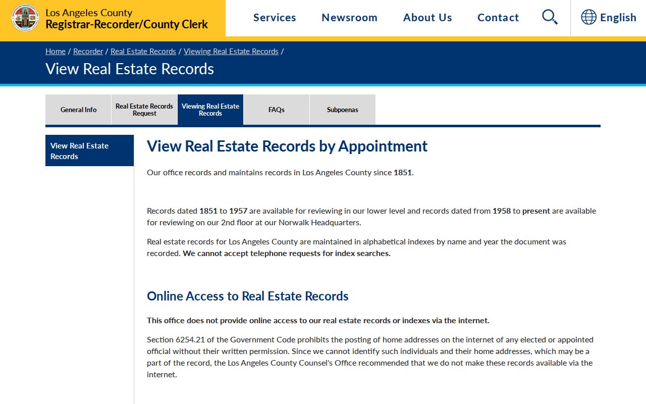
Once the instrument is identified, the legal description is more reliable than an old street label for following the parcel backward.
Beverly Hills Street Permits From 1918
Beverly Hills Community Development states that building-permit holdings reach 1918. Electrical, mechanical, and plumbing records reach 1987. Certificates of occupancy reach the late 1950s, and geological or soils reports reach the 1950s. CitySmart’s public catalog starts later, with construction permits from 1989 and planning applications from 2000. The difference is useful. “Not online” does not mean “does not exist.”
Permit cards, dates, contractors, valuations, inspection events, planning applications, and occupancy milestones can place a change on a street. The applicant, owner of record, architect, and contractor may all be different people. Plans have a special barrier under Health and Safety Code §19851: written permission from the property owner and the licensed professional who signed the plans is required before viewing or copying.
Ask Community Development about a Plan Research Request Form at cdpermits@beverlyhills.org and 310-285-1000. Ordinary permit history may still be available when plan sheets are controlled.
Beverly Hills Streets, ZIPs, and City Lines
A Beverly Hills street directory can cross a postal boundary without crossing the municipal line, or carry a “Beverly Hills” mailing label outside the city. ZIP Code 90210 extends into Beverly Hills Post Office and Los Angeles territory north of the incorporated boundary. ZIP Codes 90211 and 90212 broadly serve the city. Use city or county GIS to choose the jurisdiction before requesting a permit, code, or public-works file.
The city’s residential geography also has its own vocabulary. Hillside Area streets meander across irregular slopes. Trousdale Estates is a hillside subdivision with a different parcel pattern. Central Area mixes single-family and multifamily buildings. These planning descriptions are not ZIP boundaries, and no official citywide renumbering year was verified. Compare APN lineage, legal description, surveyor field books, permits, and cross-streets if an old address looks unfamiliar.
Note: a mailing ZIP narrows delivery geography but cannot make a whole-street resident list.
Historic Beverly Hills Street Entries
Historical address work uses the street-order half of a telephone or city directory. A local historic-resource report for 157 South Crescent and 9361 to 9365 Charleville preserves entries from 1936 through 1944. The rows show a unit, resident, spouse in parentheses, occupation, vacancy, and “no listing” language. A street directory entry therefore has more texture than a bare name, but it is still tied to a publication year.
“Vacant” and “no listing” are not the same. One says the volume marked a unit as empty; the other says the unit had no entry in that edition. Compare adjacent volumes before calling it a change of household. The full edition list and sample-entry method belong to the Beverly Hills city directory collections page.
Use a directory entry with a permit, census schedule, obituary, deed, or newspaper before treating a name as the same person. The city GIS view is the modern check against a historic street label and helps keep the correct parcel in focus.
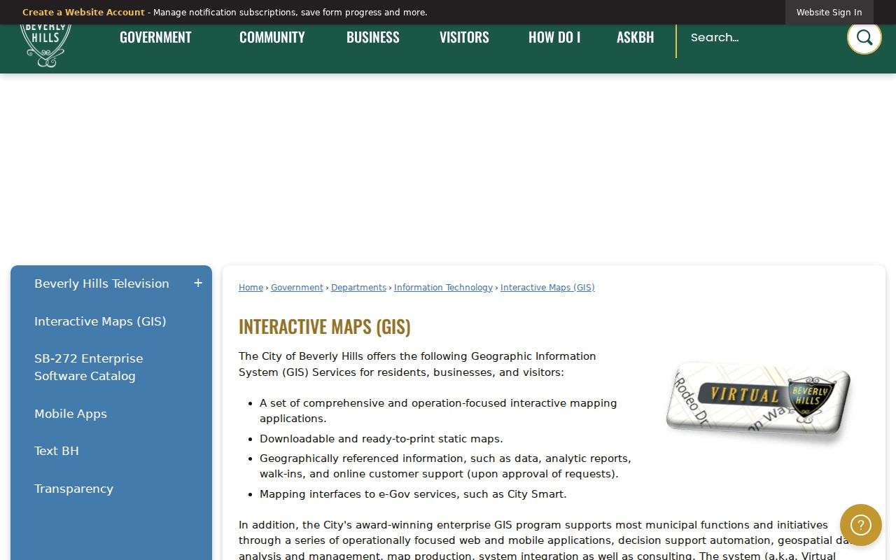
The map image supplies context for the historic entry; it does not replace the parcel or directory record.
Beverly Hills Street GIS Layers
The public Beverly Hills ArcGIS service includes parcels, city boundary, and code-violation layers by type and status. Metadata says the service moved to its current host on April 24, 2025. A map layer can show where a feature sits and how it is classified. It should not be read as permission to obtain protected case narratives, private contact details, or a household roster.
For a street pass, save the subject parcel, compare adjoining polygons, then request only the city record that matches the question. If the address is north of the city boundary but uses a Beverly Hills postal label, switch to the relevant Los Angeles County or City of Los Angeles jurisdictional map.
The public map-service metadata identifies the available layers.
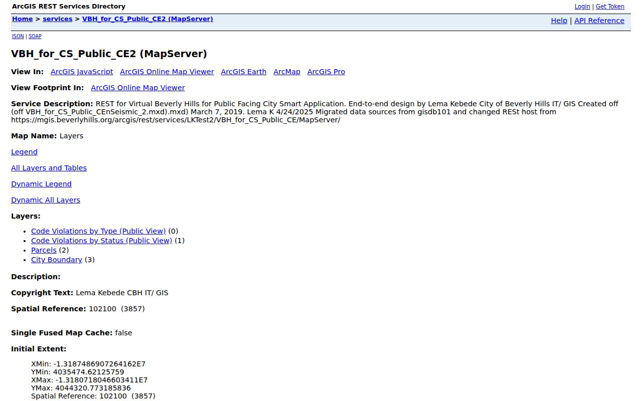
Layer visibility helps locate a record; it does not turn a code case into a public resident fact.
Beverly Hills Street Address Terms
Situs is where the parcel physically sits. A tax mailing address is where assessment correspondence goes and may belong to another property, an agent, a trust, or a business. Residence is a separate conclusion. The public Assessor card shows situs and suppresses owner and mailing information online. An exemption flag can be a clue, but it is not definitive proof of current occupancy.
- Parcel
- The mapped land unit tied to an AIN.
- Situs address
- The physical address used to locate the parcel.
- Legal description
- Lot, block, tract, or other formal land language that survives address changes.
- Plat
- A recorded map that shows a subdivision or parcel layout.
- Criss-cross directory
- An address-order directory that can expose a listed household for a particular edition.
Keep those fields separate in notes. The distinction prevents an owner, permit applicant, tax addressee, and historic listing from being collapsed into one person.
What Beverly Hills Street Records Omit
A street directory cannot name every household member or establish that a listed person still lives at an address. Voter records are not an ordinary public street browser. DMV personal information is controlled by the Driver’s Privacy Protection Act, 18 U.S.C. §§2721 to 2725. Utility accounts, delivery records, private club lists, protected-voter details, and Safe at Home addresses are not open neighborhood data.
Lawful use. Beverly Hills street and parcel records support house history, civic research, and personal curiosity. Using them to watch, threaten, stalk, or harass another person is unlawful.
When the goal changes from a whole street to one person, compare independent records through the Beverly Hills resident lookup workflow rather than expanding a street list.